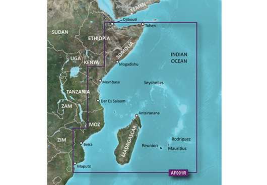
Garmin Eastern Africa Garmin microSD™/SD™ card: HXAF001R
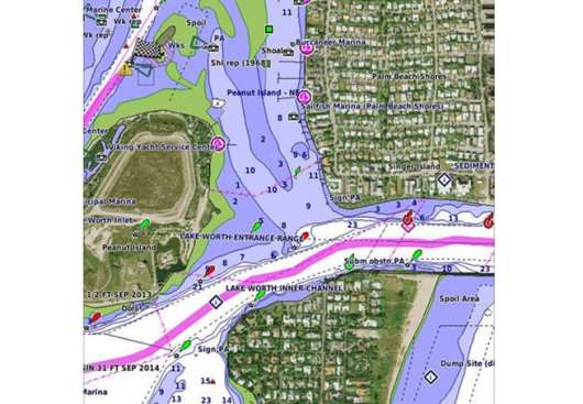
PRODUKTBESKRIVNING Our Advanced Chart Offering Derived from official charts and private sources to provide navigational aids, spot soundings, depth contours, tides and currents, and detailed harbors and marinas Depth Range Shading for up to 10 depth ranges enables you to view your target depth at a glance Up to 1-foot contours provide a more accurate depiction of the bottom structure for improved fishing charts and navigation in swamps, canals and marinas Shallow Water Shading feature allows for depth shading at a user-defined level to aid in navigation Worldwide coverage available Keep your charts up to date with our industry-leading New Chart Guarantee and discount card update program Advanced Chart Detail Detailed charts help the mariner guide their boat in and out of port with confidence. Depth Range Shading Displays high-resolution Depth Range Shading for up to 10 depth ranges so you can view your designated target depth. Detailed Contours BlueChart g2 HD features 1-foot contours that provide a more accurate depiction of bottom structure for improved fishing charts and enhanced detail in swamps, canals and port plans. Täckning General coverage of the east coast of Africa from the Gulf of Tadjoura to the Bay of Maputo, including Mogadishu, Som., Mombasa, Ken., and Dar es Salaam, Tan. Also includes general coverage of the entire coast of Madagascar. Includes detailed coverage of Djibouti, Dji., Maputo, Moz., Mauritius, Reunion, and the Seychelles.
Artikelnummer: 010-C0747-20